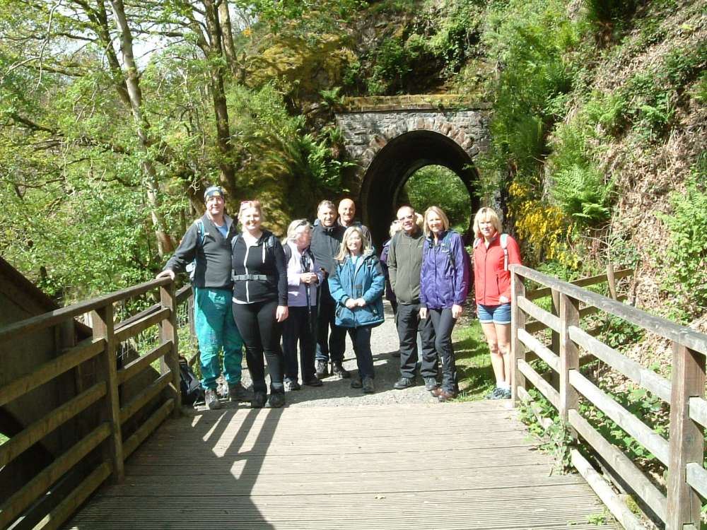
The C walkers did a linear walk starting in Threlkeld
 first along
 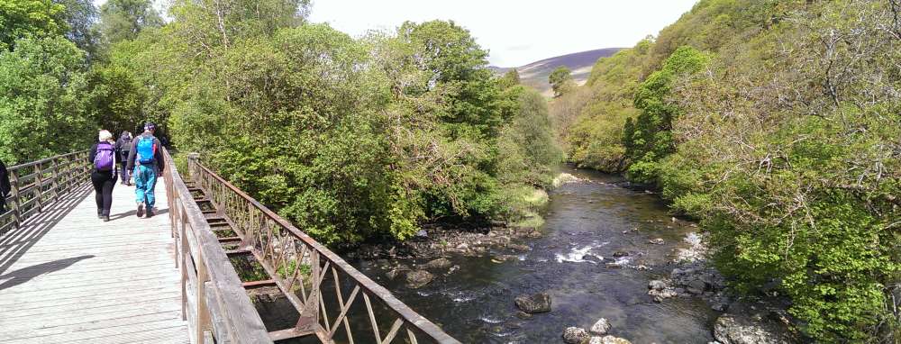 the disused
rail track to Keswick,
the disused
rail track to Keswick,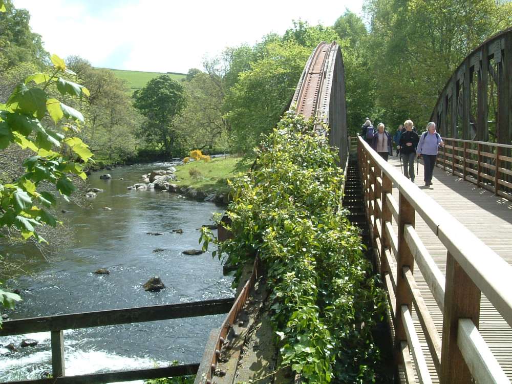
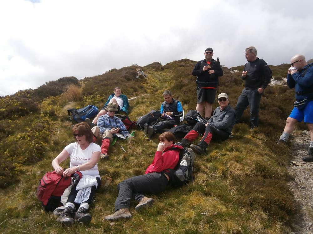
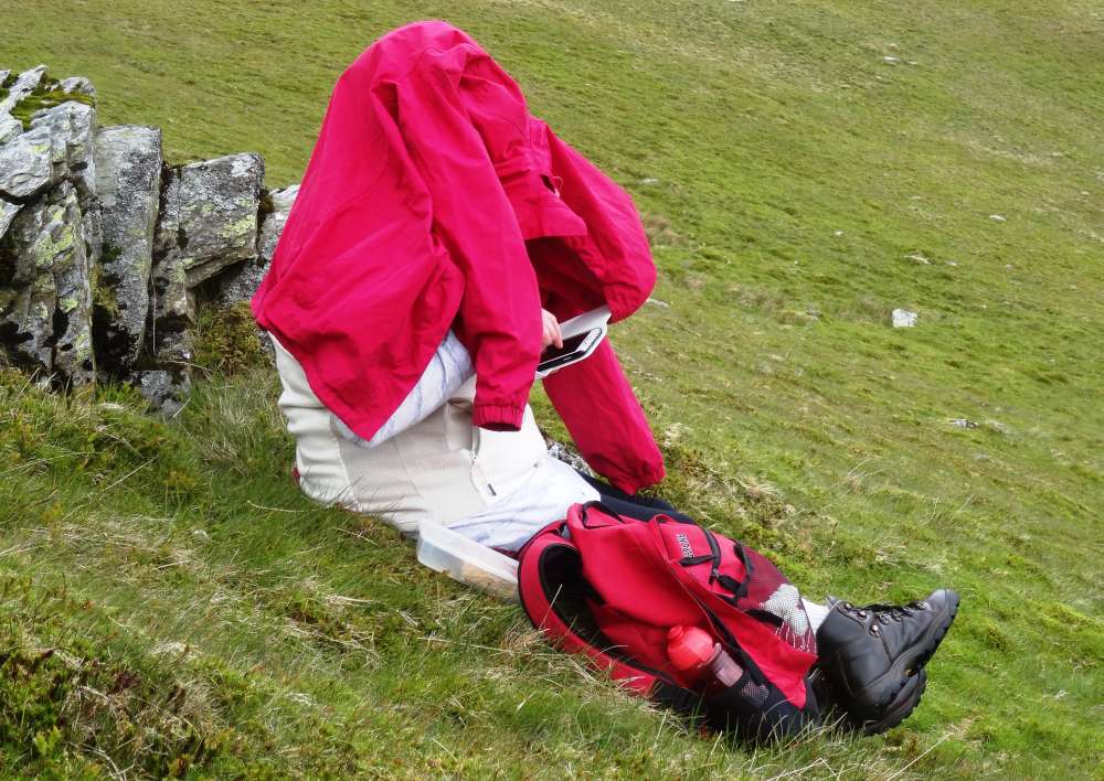
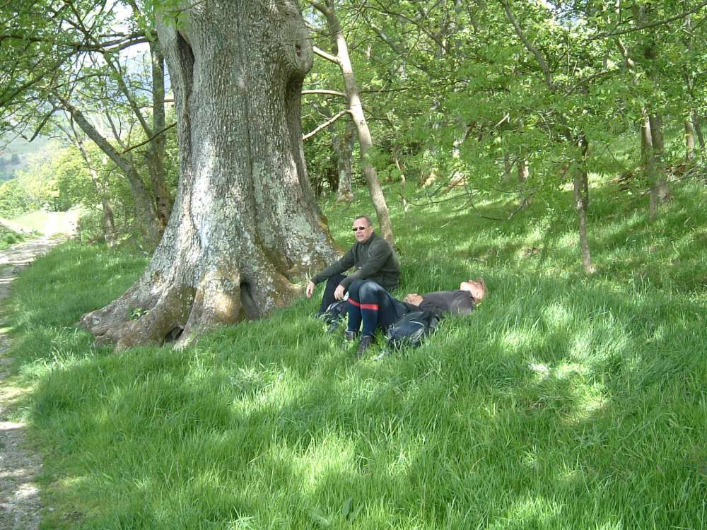 Mike takes a power nap
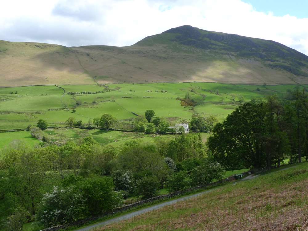
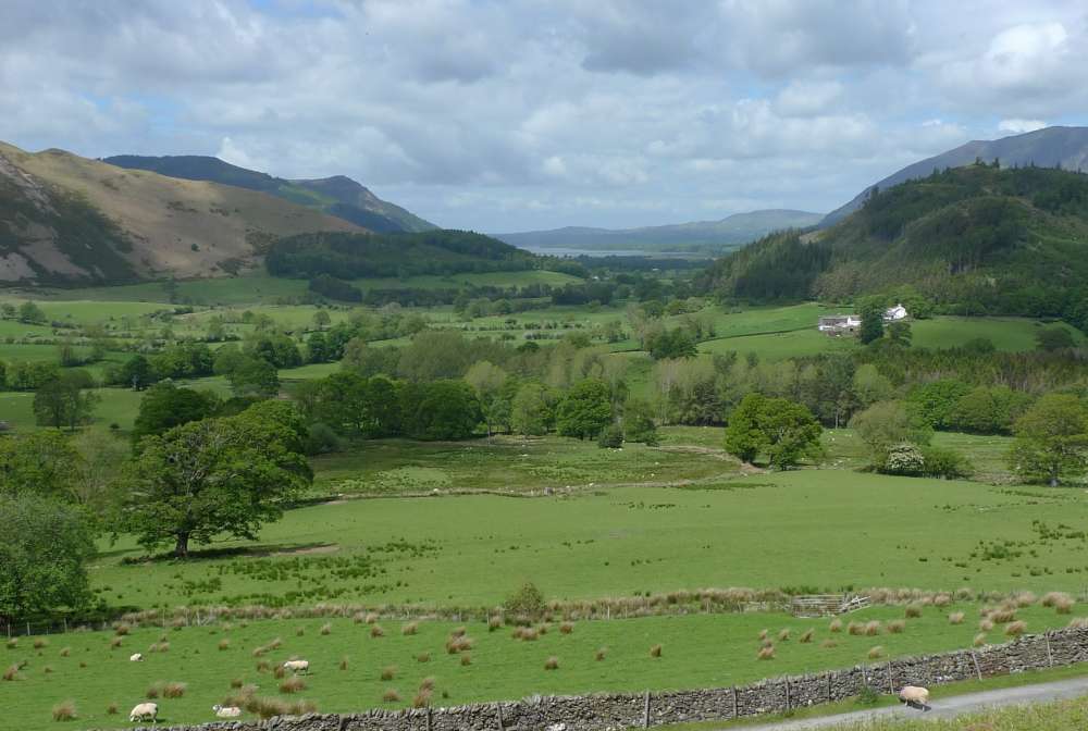
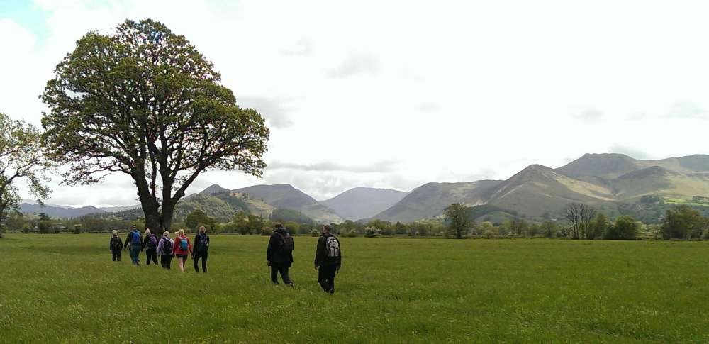 then walking across the farm fields along the base of Skidaw
 .
. and into Braithwaite
The two B walks followed a similar pattern, first climbing up Barrow by different routes (the B+ up the ridge, the B- via Barrow Gill), then down into the Newlands Valley where the B+ went up the valley to Little Town then back to Swinside, while the B- went directly aross to Skelgill and up the lower slope of Skelgill Bank. Both walks then returned to Braithwaite along Newlands Beck. Photos from B-.
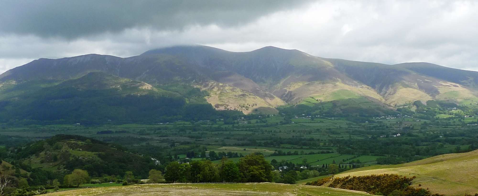 Looking back to a cloud-capped Skiddaw
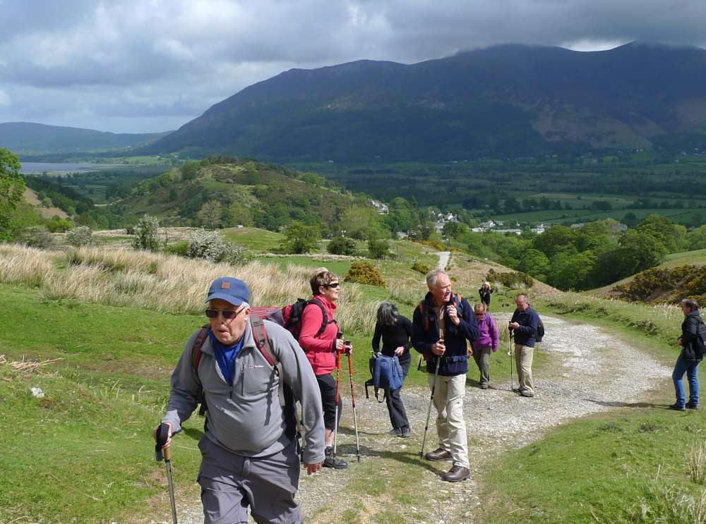 as we climb up Barrow Gill
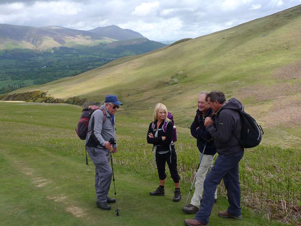
 Bassenthwaite Lake comes into view
 Meeting of the two B walks, as Roger's group come down from Barrow
 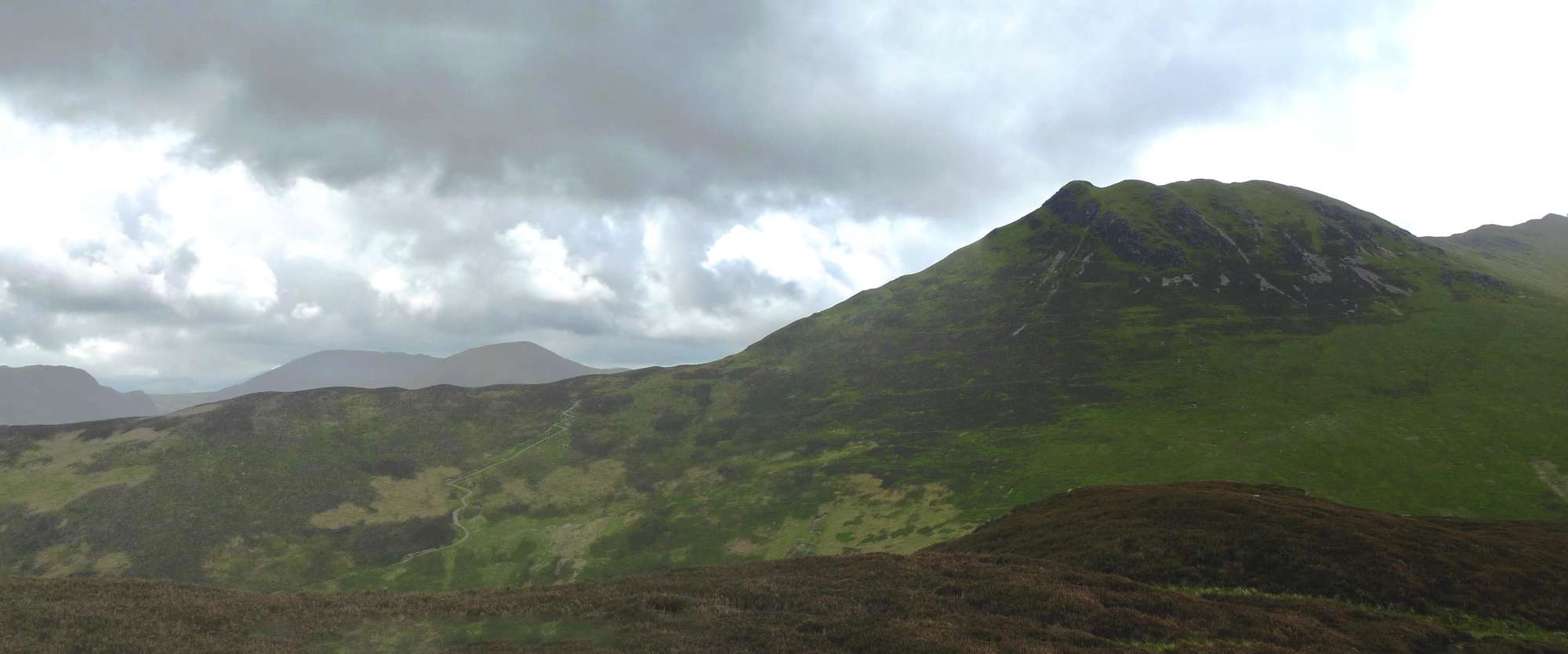 Causey Pike from Barrow
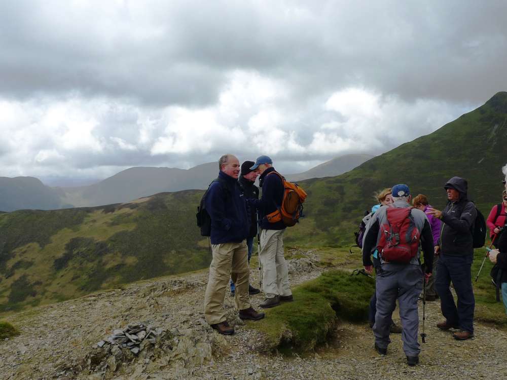 Barrow top
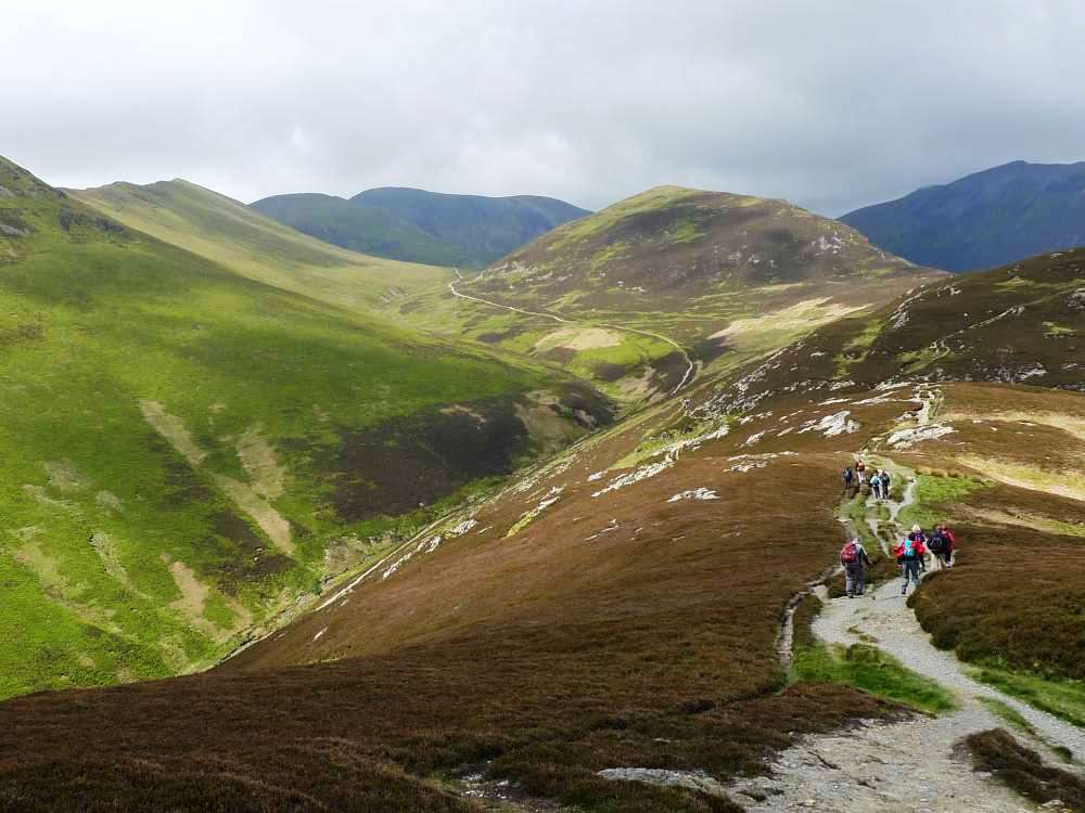 The path off Barrow, with Stoneycroft Gill in the valley
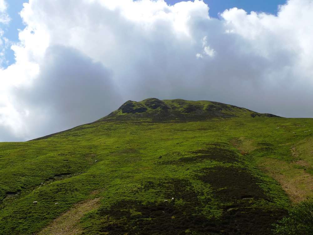 Causey Pike
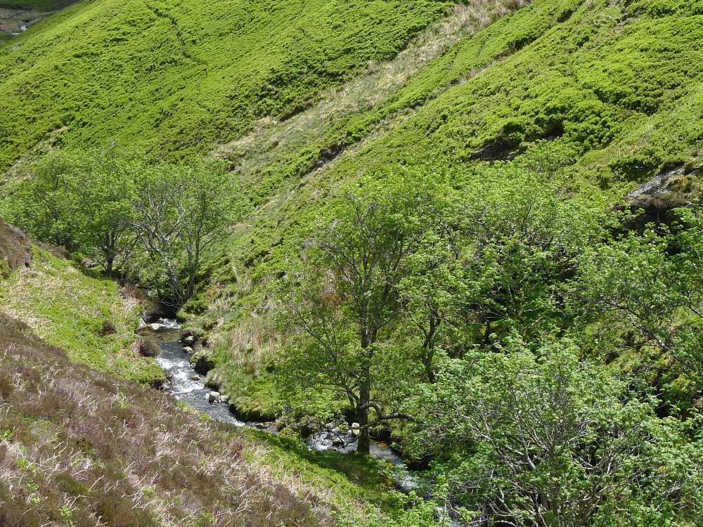 Stoneycroft Gill
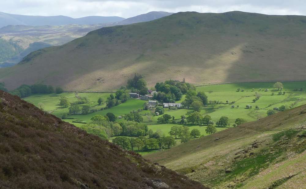 First sight of Newlands valley with Skelgill bank behind
 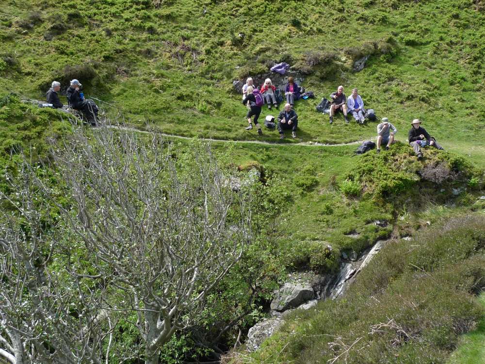 Joint B picnic by Stoneycroft Gill
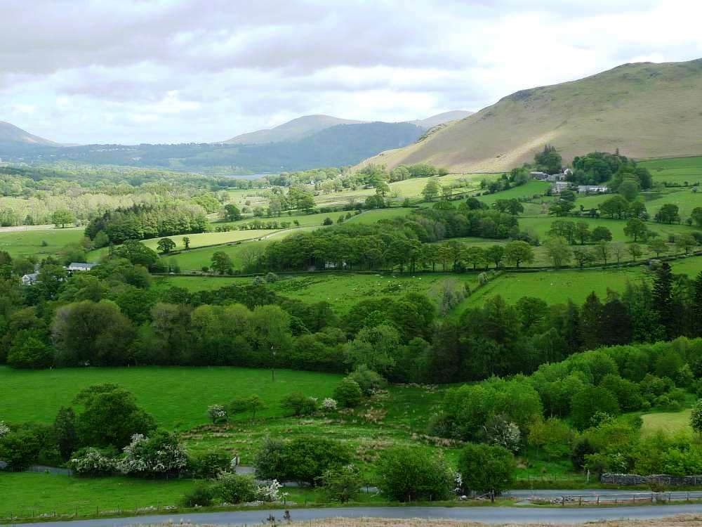
 Cat Bells
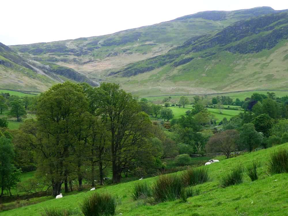
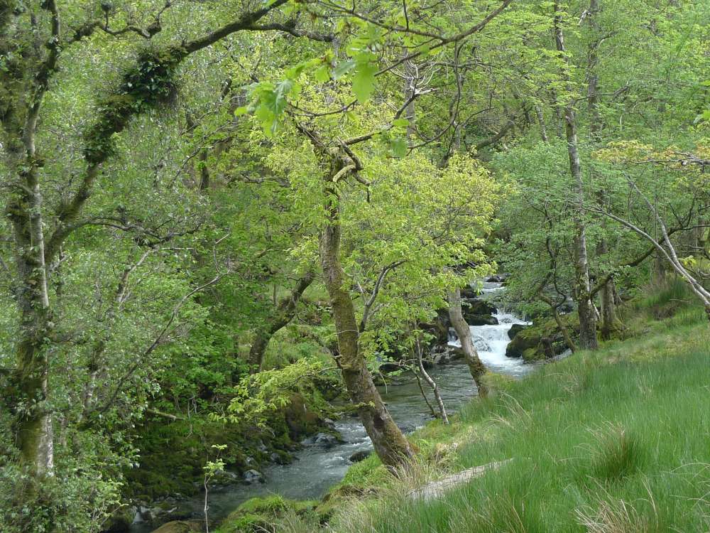 Newlands Beck
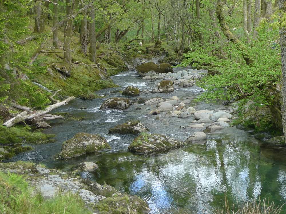
 Views from the lower slopes of Skelgill Bank
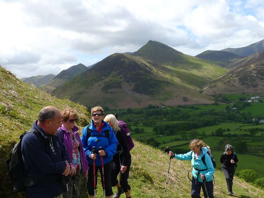 Causey Pike and ..
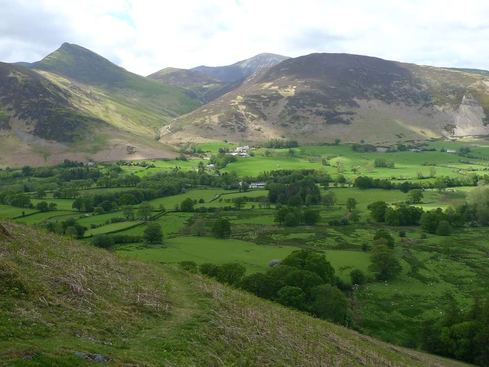 Barrow, across Newlands Valley
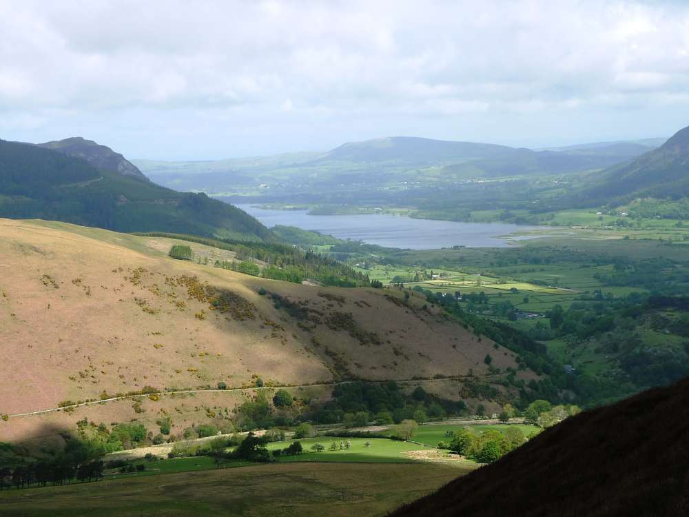
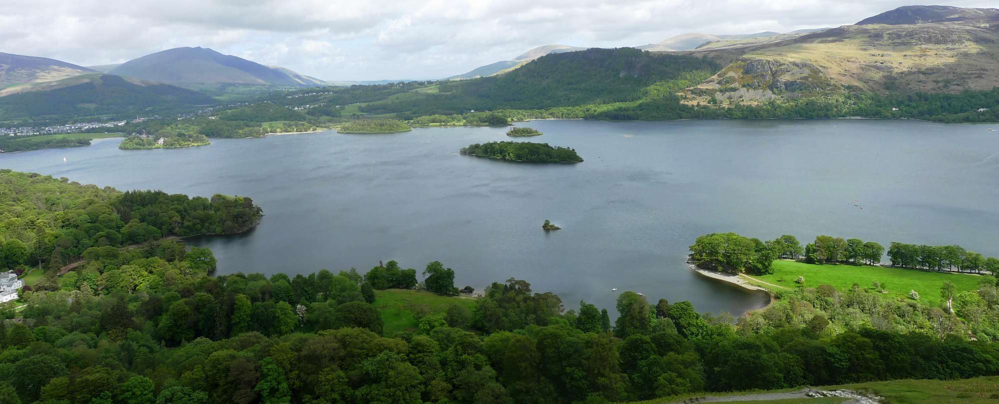 Derwent Water
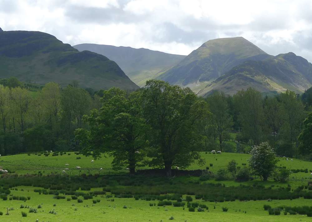 Looking up Newlands Valley towards Dale Head
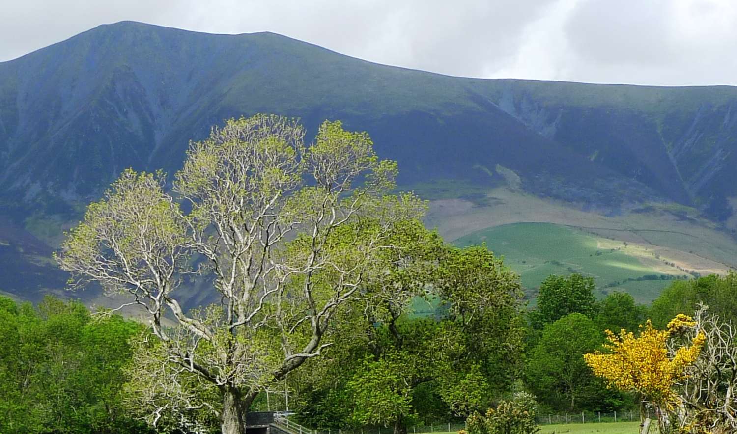 Skiddaw again
The A walkers tackled the "Coledale Round": Grisedale Pike , Hopegill Head, Sand Hill ,Crag Hill , Sail then across to Barrow and back into Braithwaite. 9.5 miles, 3500 feet ascent.
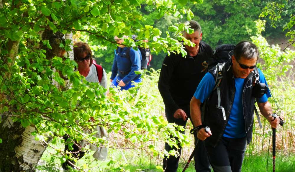 Through the woods
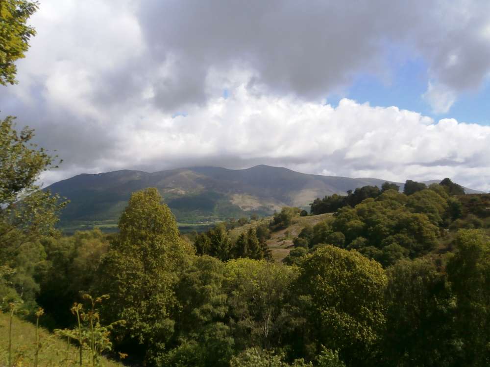 with Skiddaw behind
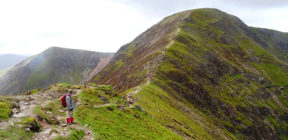
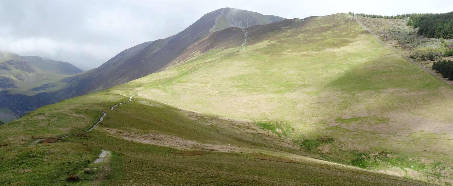 The path up to Grisedale Pike -- you can't miss it
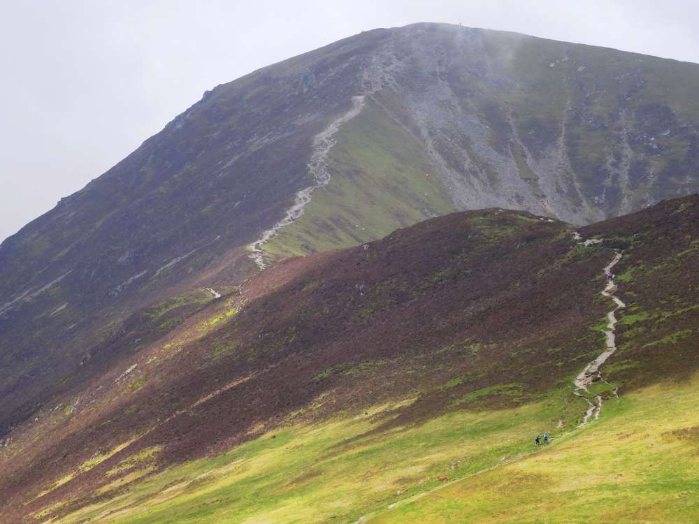 Zoomed to the last climb -- doesn't look any easier!
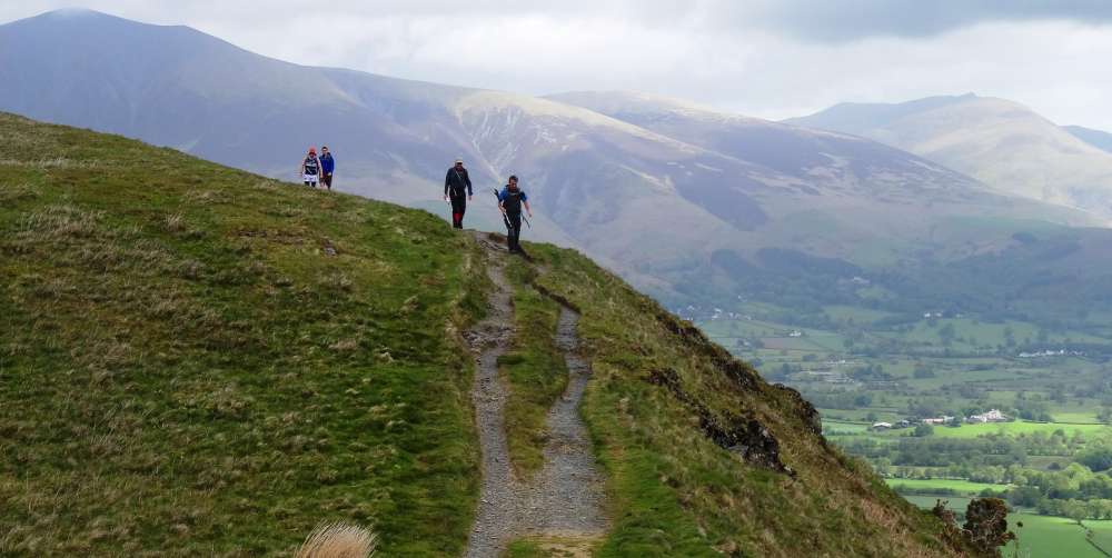
 Break for a snack before
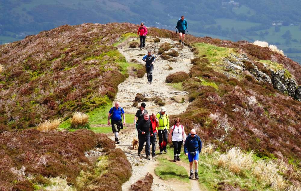 the
the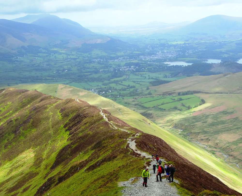 final
final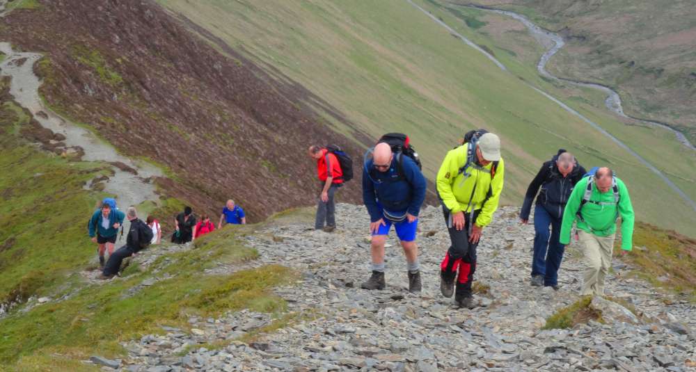 push
push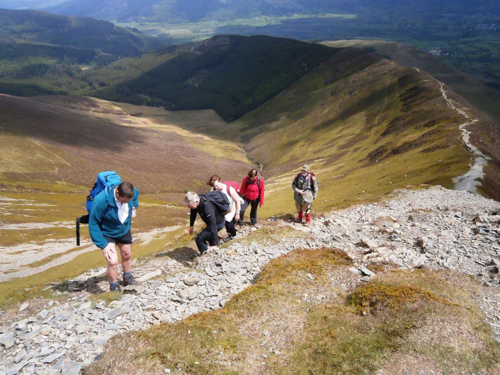 to the
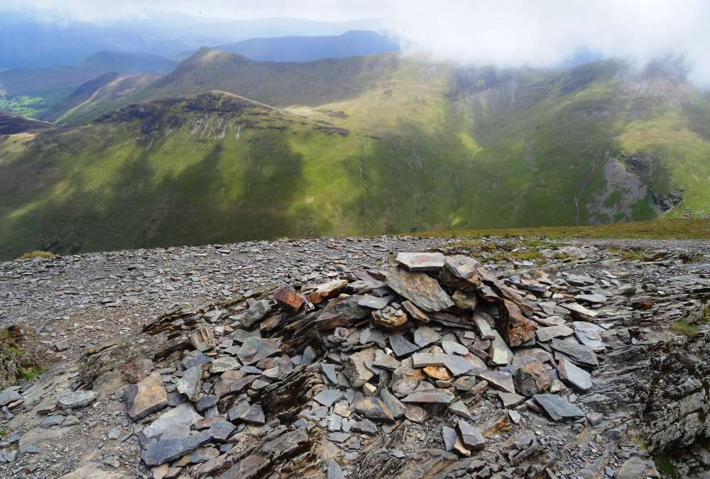 top!
top!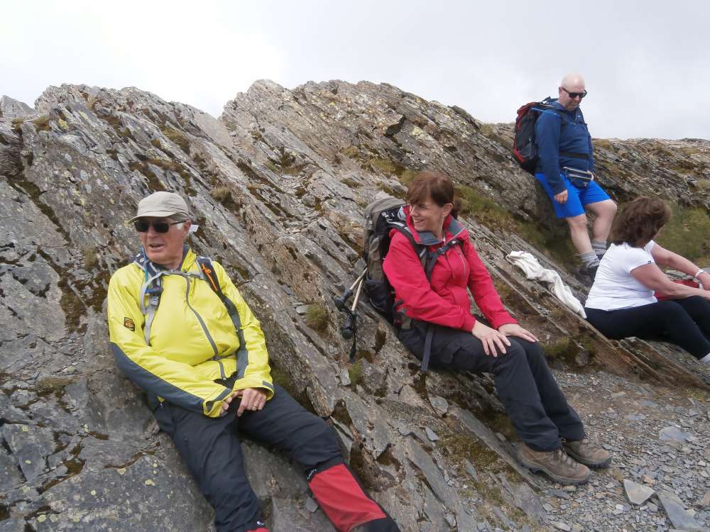
 View to Derwent Water
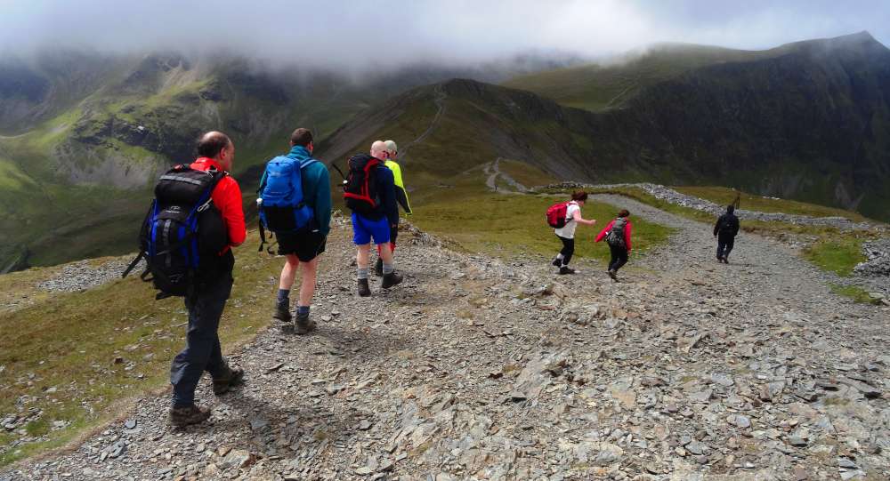 On to
On to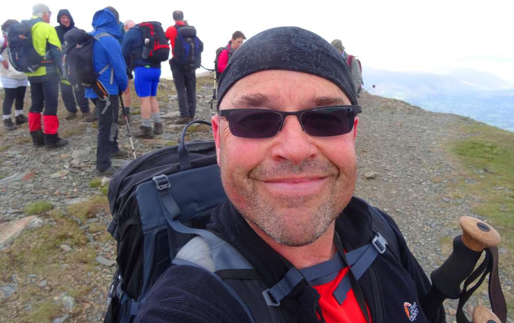 Hopegill Head (and Derek's obligatory selfie)
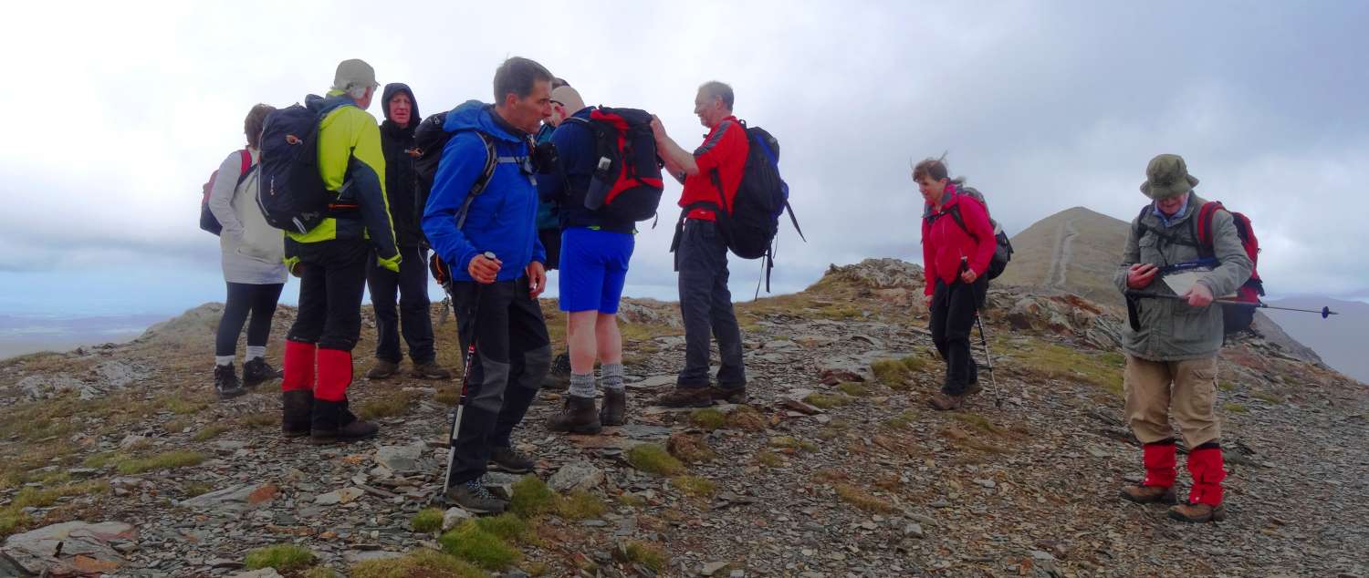
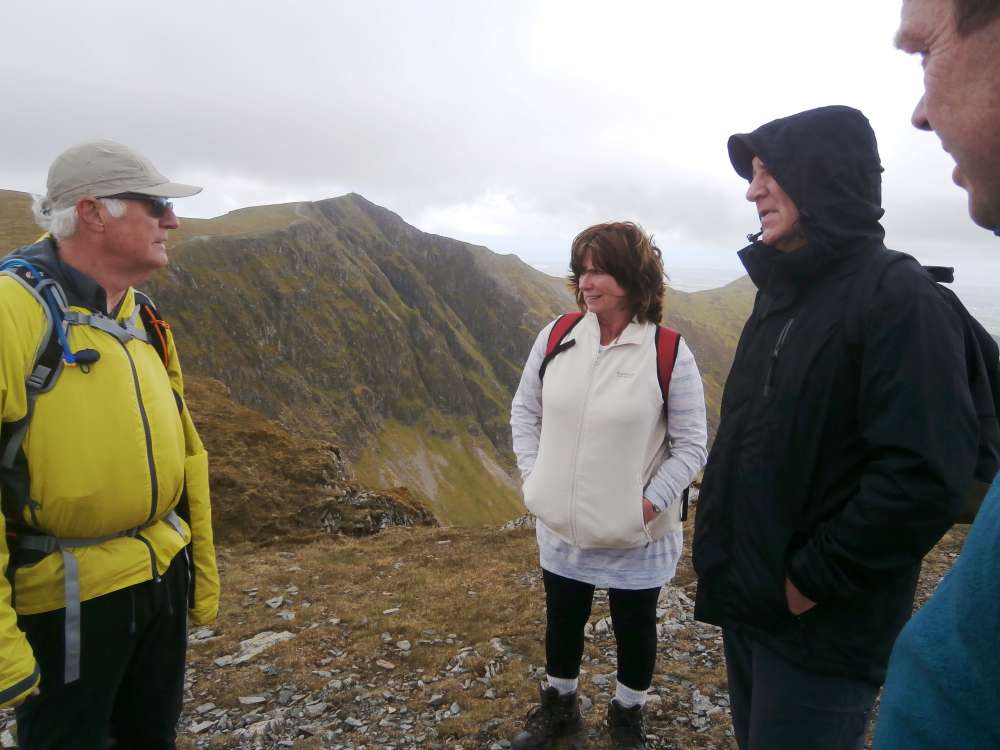
 (Don't ask)
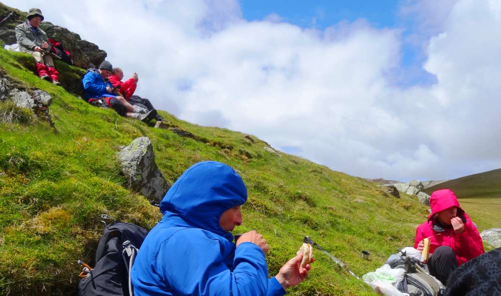 Lunch..
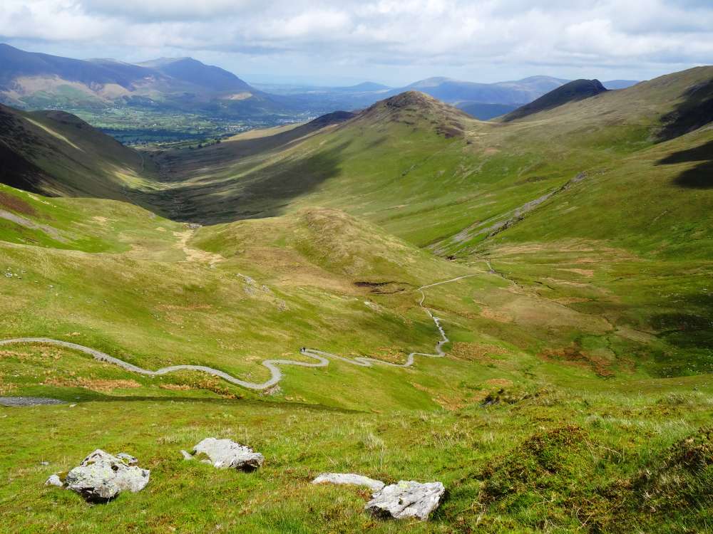 .. with a view
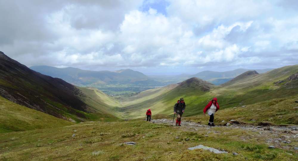 And off again
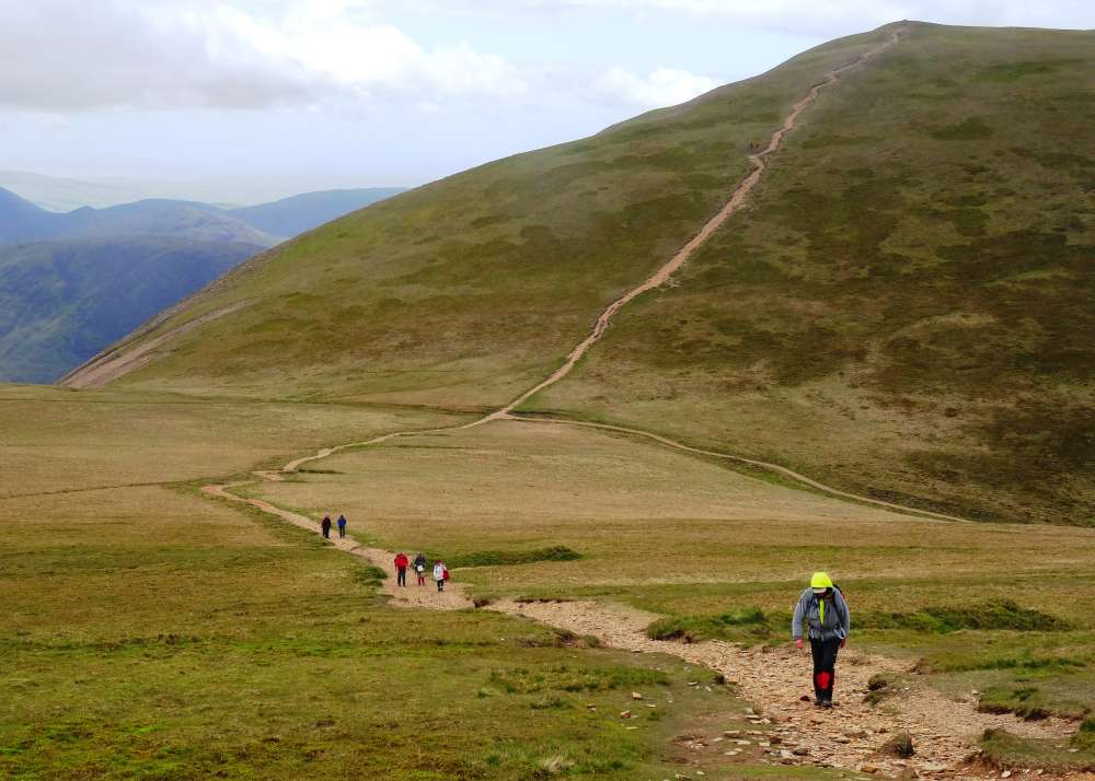 towards Crag Hill
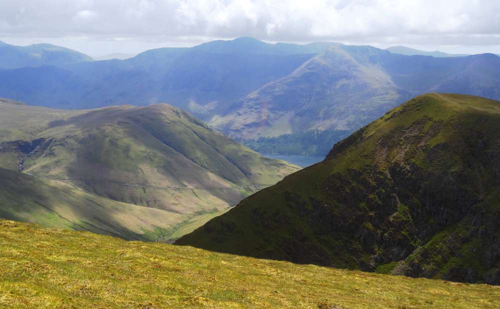
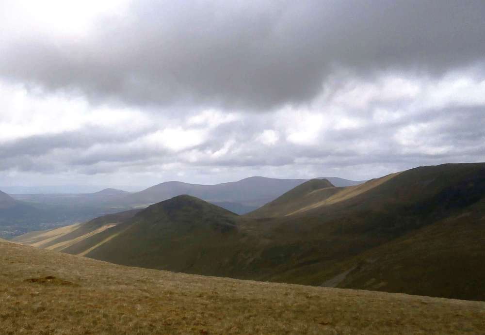
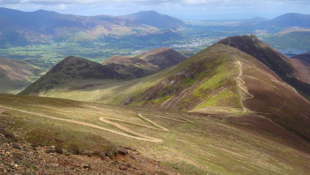
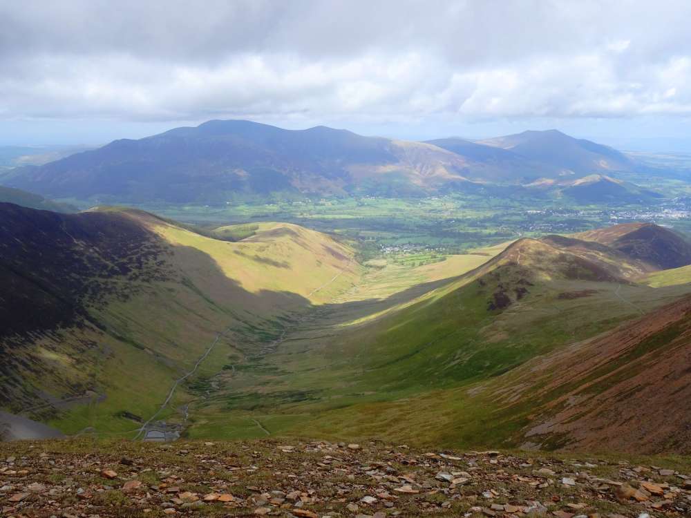 Coledale from Crag Hill
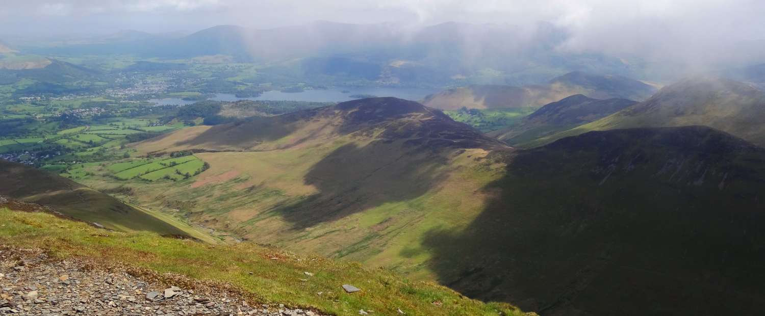
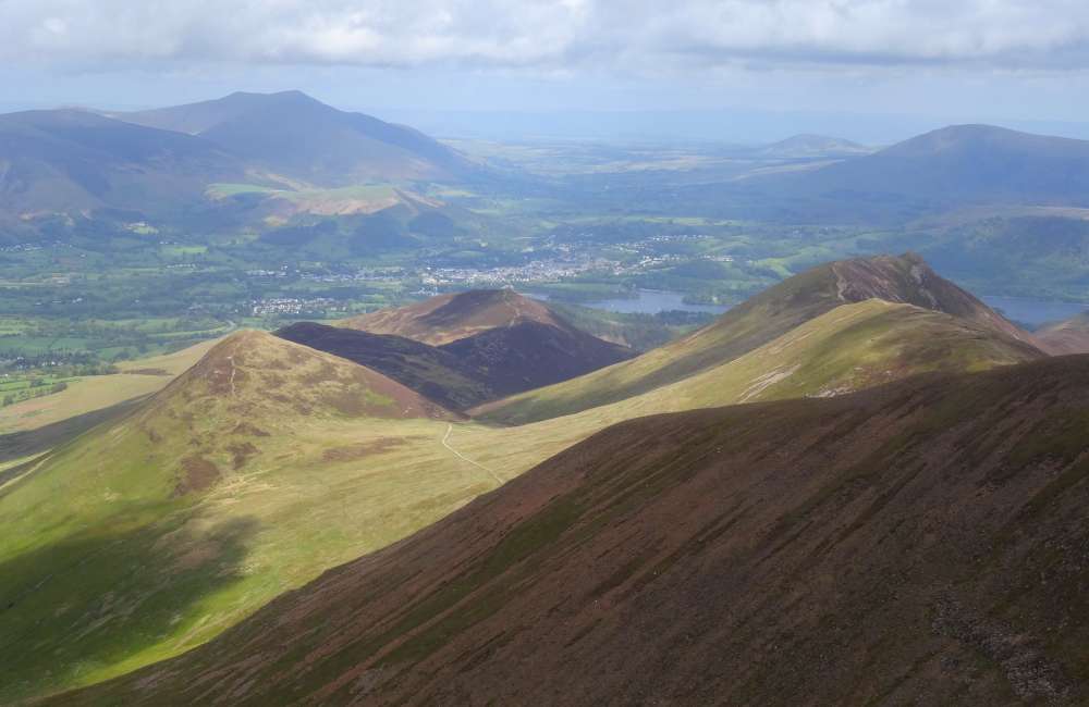 Keswick and Derwent Water from Crag Hill
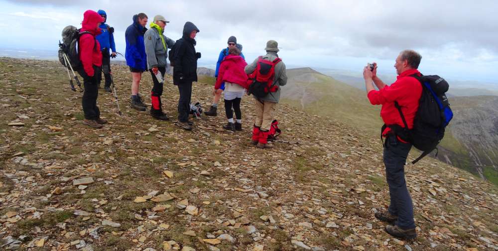
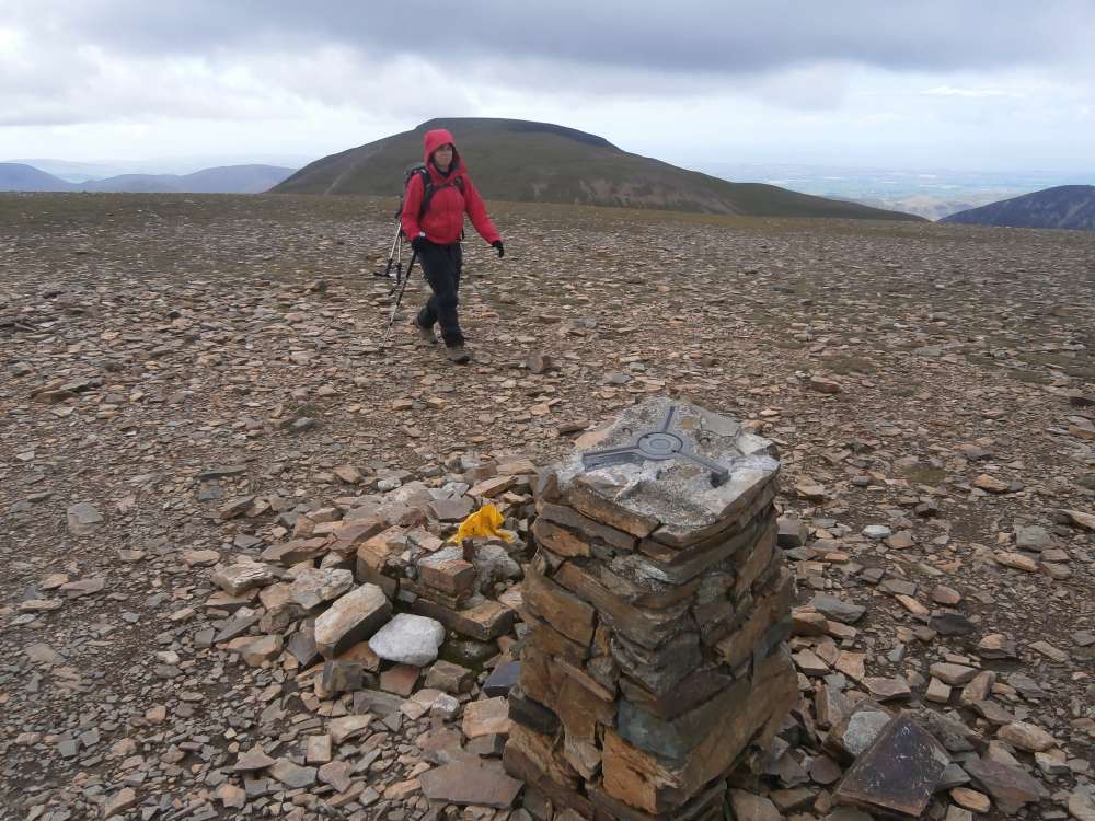 Crag Hill trig point
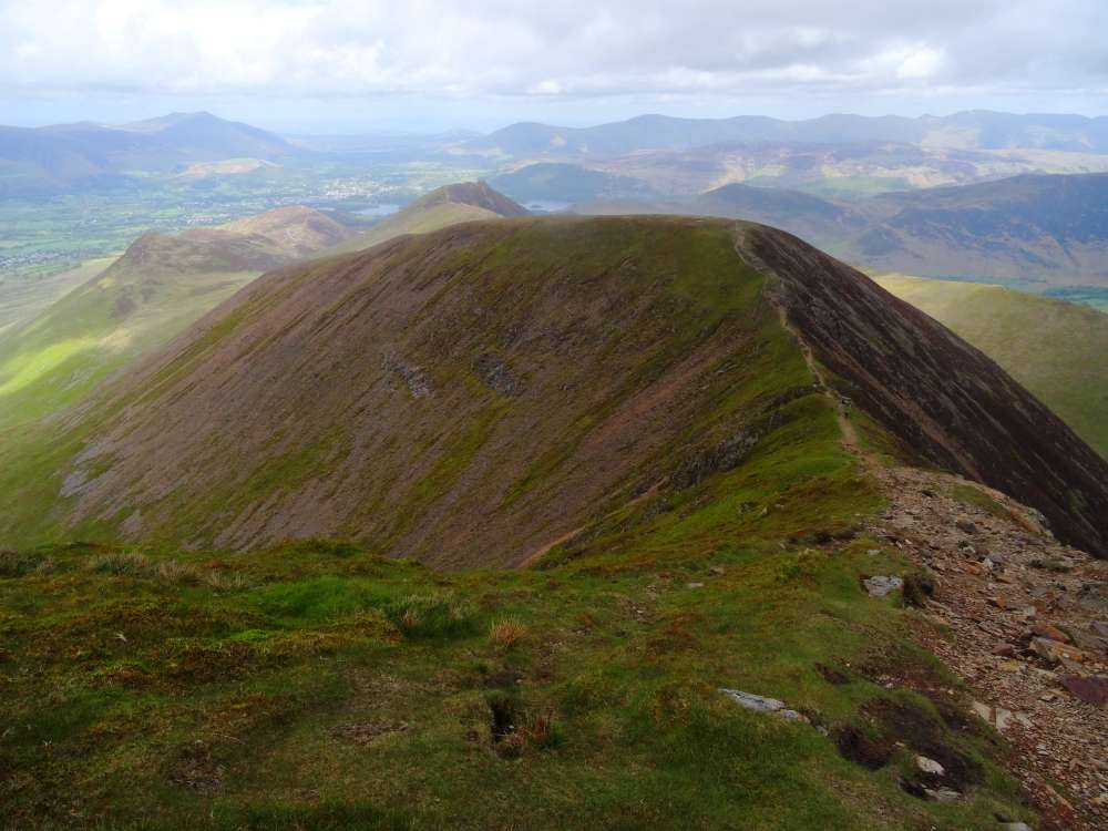 the path to Sail
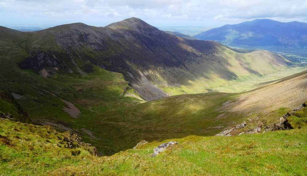 Grisedale Pike and Coledale
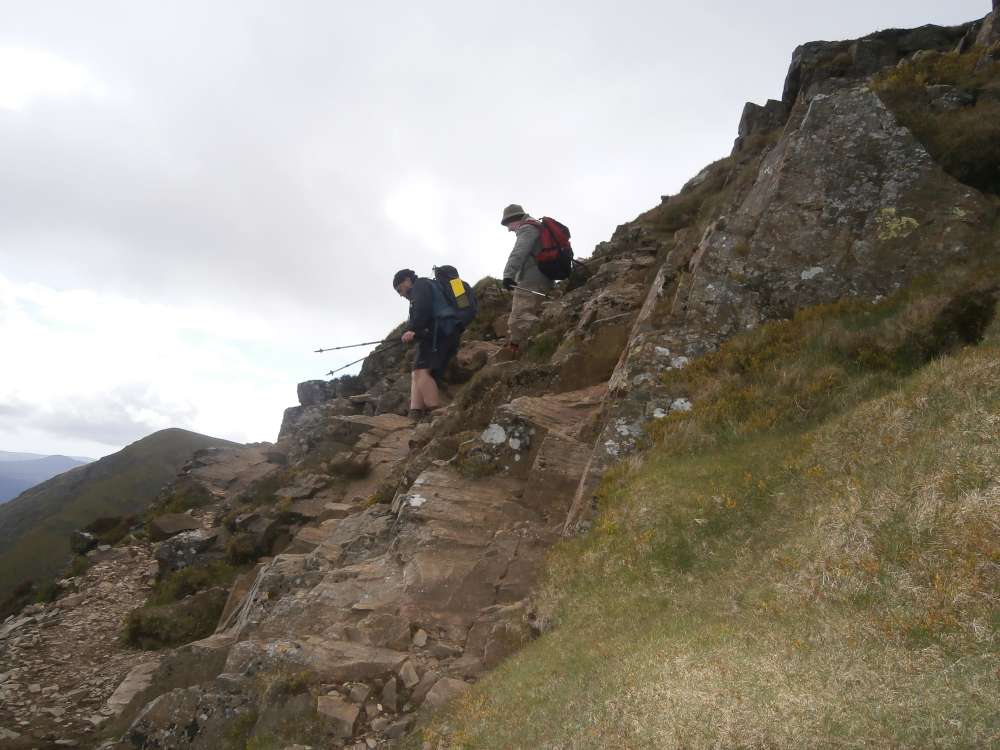
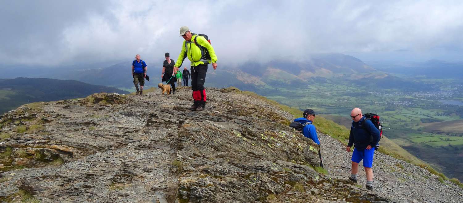
 On top of Sail
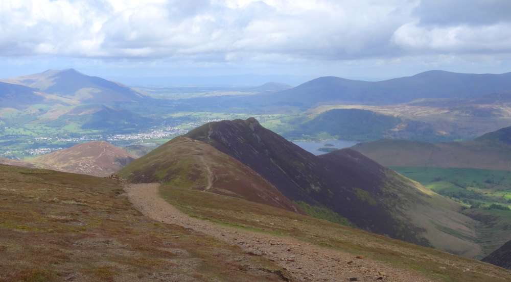
 A difference of opinion
 The view to Scar Crags
 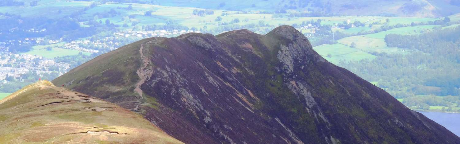 and Causey Pike
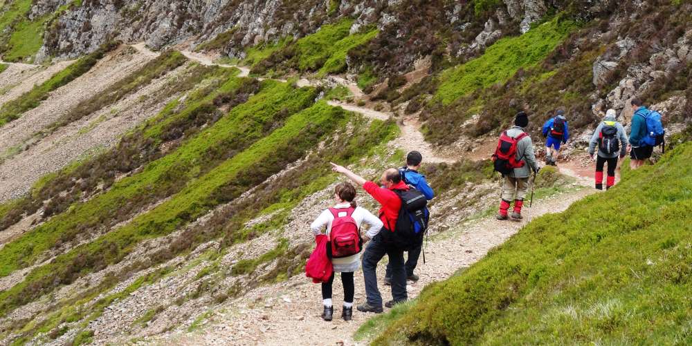 Cutting down North of Scar Crags, heading for
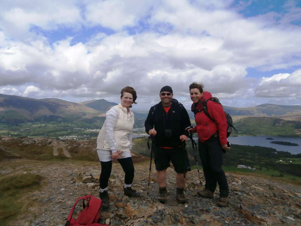 Barrow
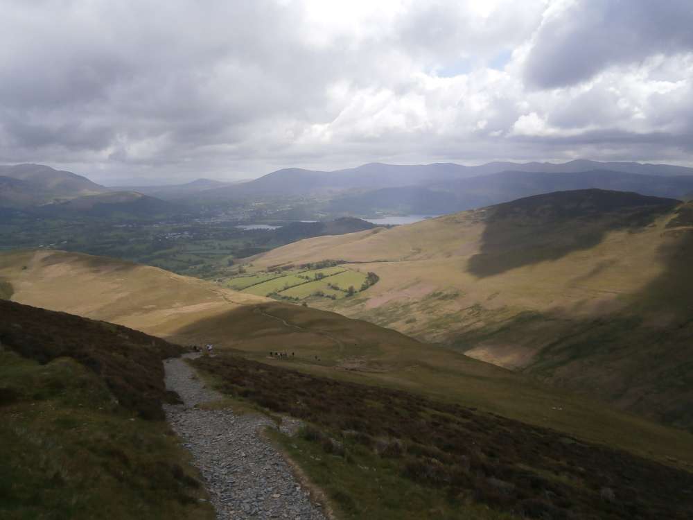
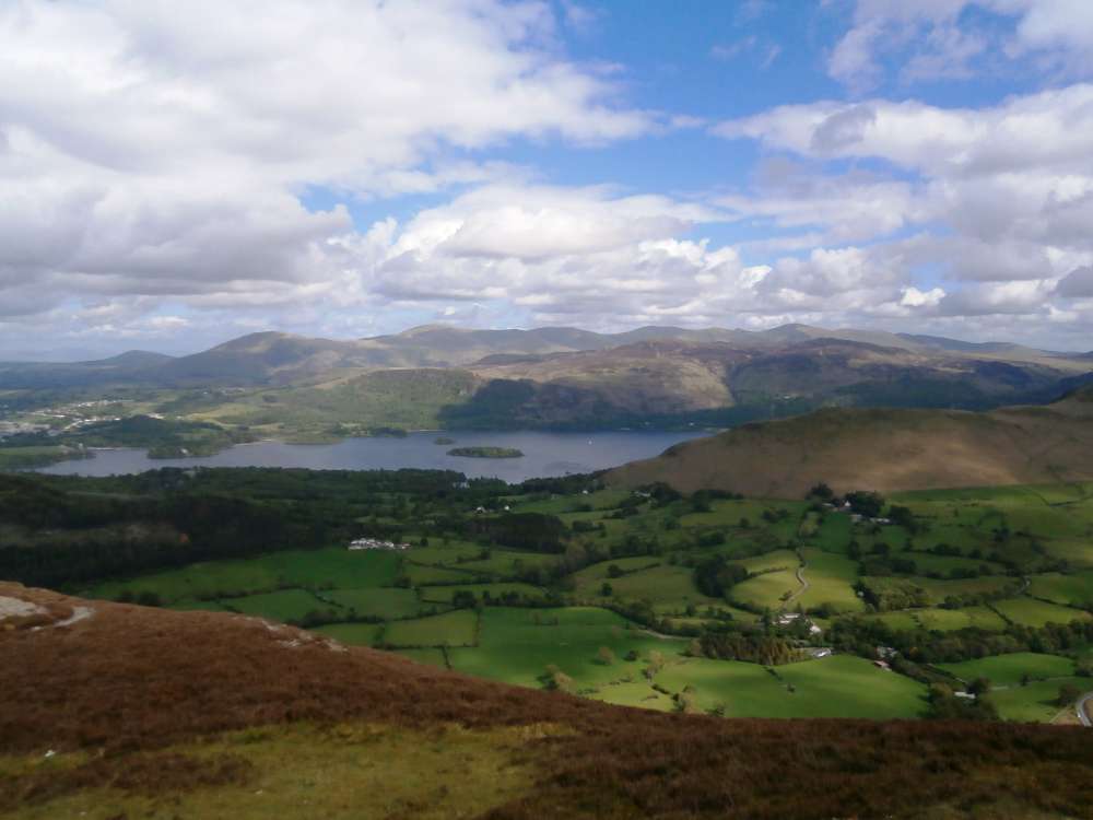 Derwent Water from Barrow
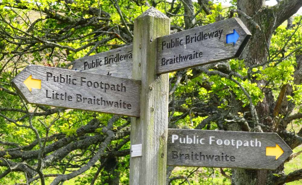 All roads lead to..
 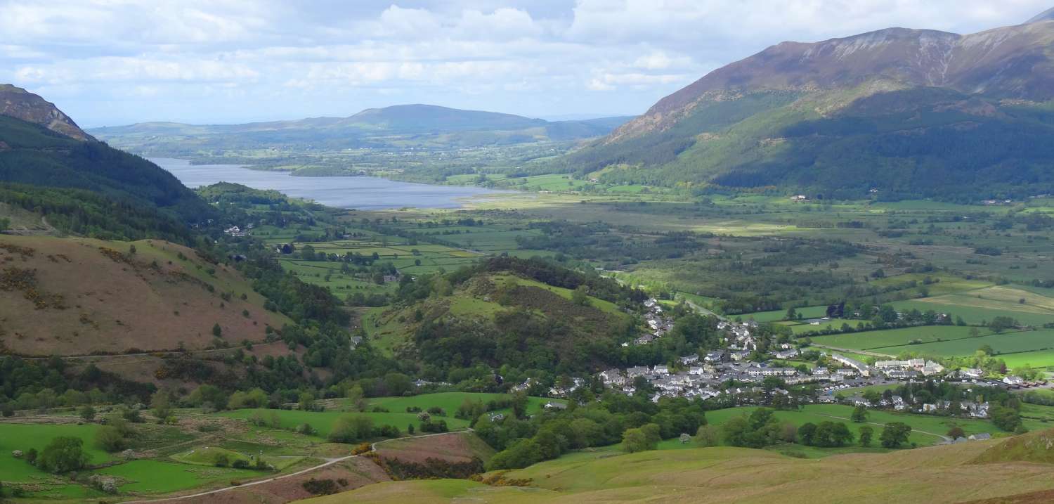 ..Braithwaite
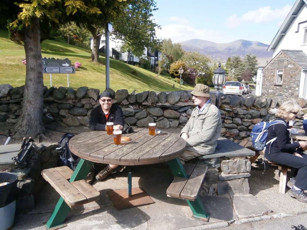
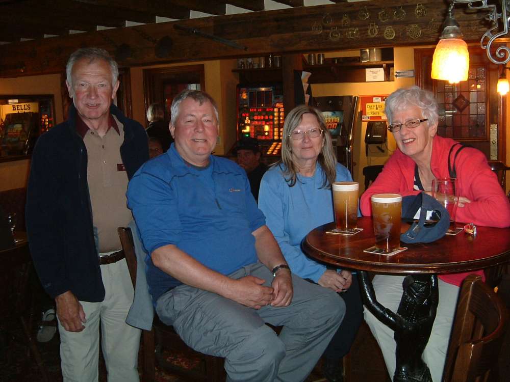
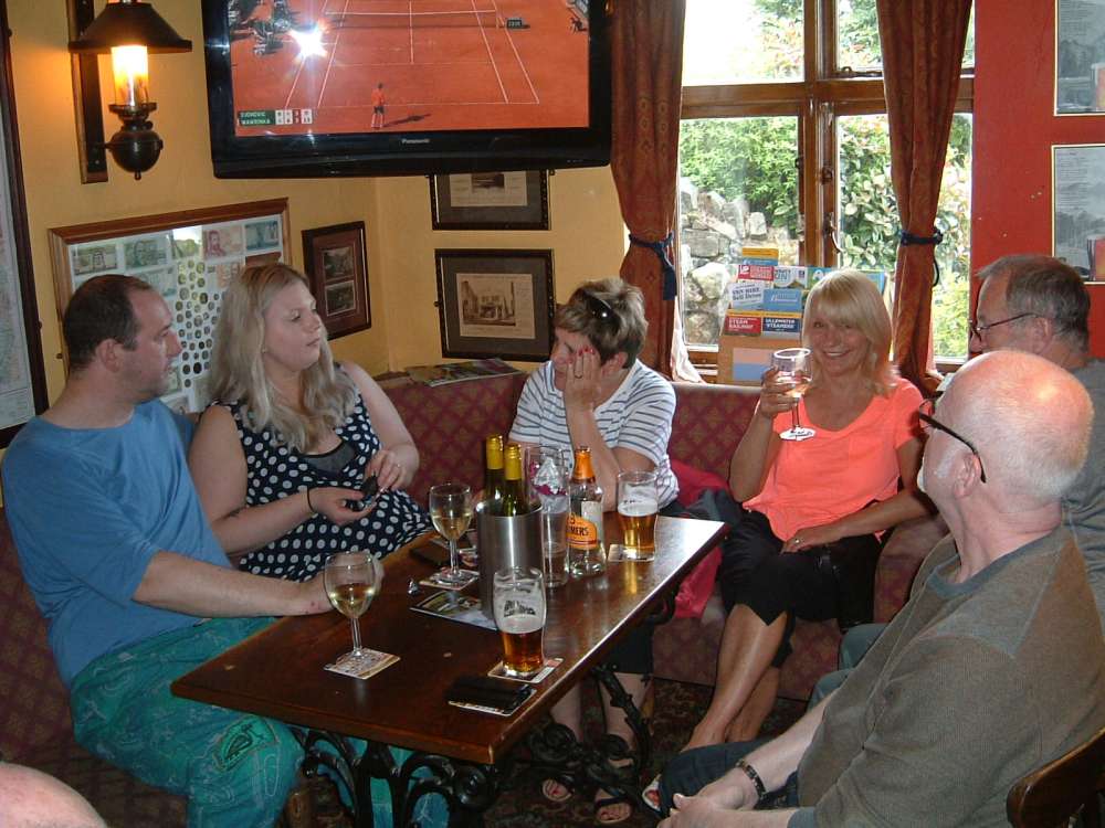
And finally...
.JPG)
Photos by Phil Cunningham, Jeremy Haworth, Derek Hesketh, John Hodgson and David Whitehurst